Security, reconstruction and peace: Avoiding water conflicts
Water is becoming scarcer. Demand is increasing. Dialogues with countries bordering rivers and lakes reduce the potential for conflict.
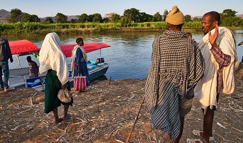
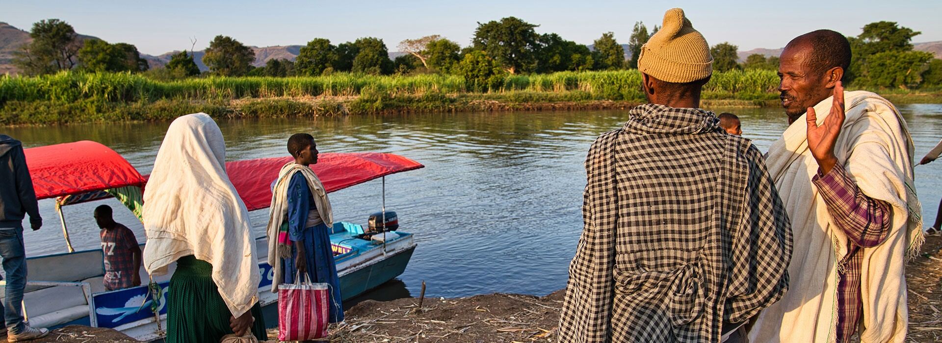
The Nile winds through the barren desert landscape of Sudan and Egypt like a blue ribbon. Water is a scarce commodity in this region. Upstream, in Ethiopia, the waters of the Blue Nile drive Africa’s biggest hydroelectric power station. Water is used for many different purposes here. The challenge for this region is to ensure that it remains available.
The Nile runs through no fewer than eleven countries, each with a growing population and therefore a clear interest in using this resource as efficiently as possible. The waters of the Nile irrigate huge swathes of agricultural land. They also drive hydropower stations that supply electricity to households and industry. However, the dams built to hold back the water also create tension between the countries of the upper and lower Nile.
Malte Grossmann works for the Deutsche Gesellschaft für Internationale Zusammenarbeit (GIZ) GmbH. He is based in the region and heads a project designed to promote cross-border collaboration. ‘The rain falls in the upper Nile, but the lower Nile is desert. One part of the river basin supplies water for the other part,’ he says. The Nile rises in the Ethiopian Highlands and around Lake Victoria. From there it flows through many of the countries of East Africa before it reaches Egypt via Sudan. As a result of increasing populations, growing economies and climate change, people are taking more and more water from the river. ‘There will be less water,’ predicts Malte Grossmann, ‘and it will be less regular.’
Cooperation: the key to peace and security
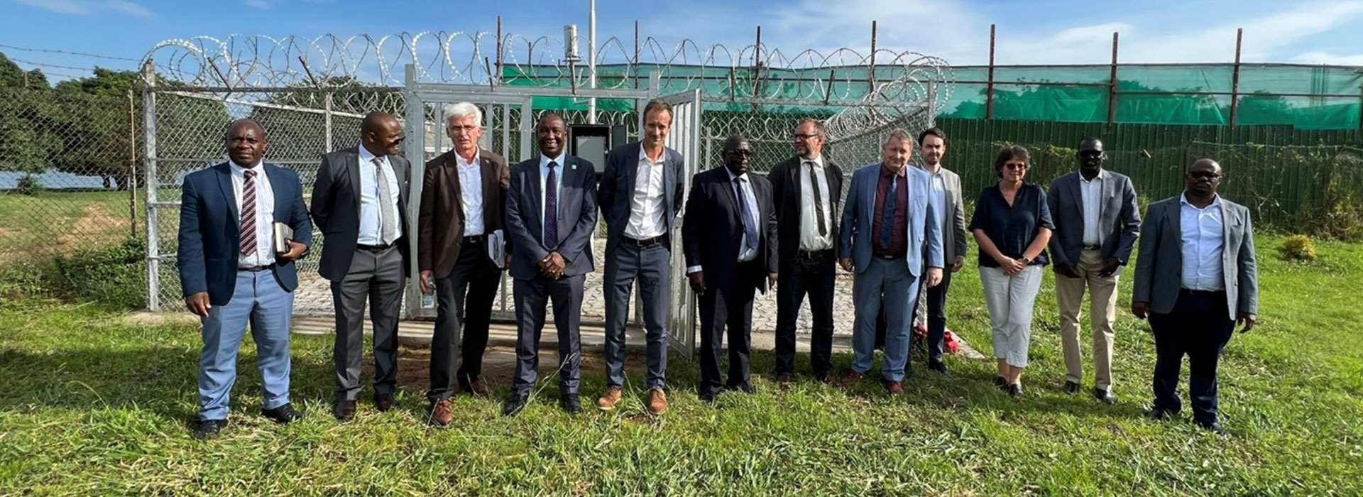
GIZ’s role is part of a wider German Government strategy to promote stability in the Nile region. It has been commissioned by the Federal Ministry for Economic Cooperation and Development (BMZ) and the Federal Foreign Office (AA) to facilitate dialogue between the countries of the Nile Basin. To this end, it supports the Nile Basin Initiative, an intergovernmental partnership that brings together specialists from each country to monitor water volumes. 60 modernised water measuring stations supply data for joint analysis by national experts, thus ensuring that all the Nile Basin states are kept informed about river water availability. ‘That helps to build trust,‘ explains Grossmann.
The initiative is the first platform used by the Nile Basin countries to share information about their water management plans, e.g. on future dam locations, and to simulate the impact on water volume. ‘We address a wide range of interests – not just our own,’ says one member. ‘That’s an important step towards managing different perspectives and avoiding conflict.’
Central Asia: stability and cohesion in the region
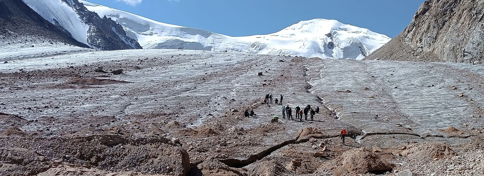
The picture in Central Asia is similar. Here, too, water resources are shared between numerous countries. Yet the volume of water available is declining. Climate change is a huge challenge for the region, as glaciers in mountainous areas shrink and deserts form in the valleys. That makes it nearly impossible to plan when and where water will be available. Masturakhon Saifutdinova grows pomegranates on a piece of land alongside the Amu Darya and Syr Darya rivers. ‘Nothing can live without water. We have to be very careful about how much we use,’ she says.
To help spread that message and at the same time ease regional tensions, GIZ has been involved in the region for over ten years on behalf of BMZ and the Federal Foreign Office, supporting the efforts of Kazakhstan, Kyrgyzstan, Tajikistan, Turkmenistan and Uzbekistan to manage their shared water resources. As in the Nile region, GIZ’s role is to bring countries together around a single table, facilitate dialogue and standardise measuring data. In turn, the countries work with GIZ across national boundaries to develop models and forecasts. That involves working out how much they can plan for without reducing the supply of water to their neighbours. While this approach will not increase the total amount of water available, it helps to reduce tension. ‘My share of the water isn’t much,’ says Saifutdinova, ‘but it’s enough.’
Last update: February 2024
