Philippine Coast Guard personnel and GIZ train in Land Mapping and Geographic Information System (GIS)
Two Land Mapping and GIS trainings were conducted on 5 and 12 April for members of the Philippine Coast Guard and GIZ staff. The training courses and capacity building activities are part of the GIZ Project "Support to the Philippine Coast Guard in Securing the Rules-based International Order in the Indo-Pacific Phase II," funded by the German Federal Office through the Enhancement Initiative (Ertuechtigungsinitative). The Project aims to increase the capacity of the PCG in fulfilling its mandate and responsibility to perform maritime search and rescue, maritime law enforcement, maritime safety, marine environmental protection, and maritime security. The activities provided training for PCG personnel in processing the digital evidence and photographs gathered through UAVs (Unmanned Aerial Vehicles) and related images using the different mapping software.
The Land Mapping course was held in GIZ Office Manila and was attended by 21 participants who had basic knowledge of land mapping and were part of the previous UAV and GIS Trainings of the Project. The participants went through various exercises to process images from the UAV trainings conducted in Cavite and Palawan, as well as create interactive and static maps, using the Agisoft Mapping Software procured by the GIZ PCGP2 Project for the PCG.
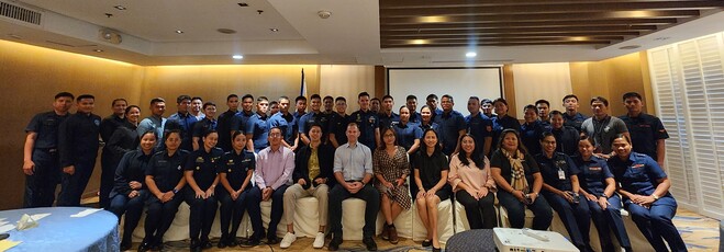
At the Land Mapping course, held in Bayleaf Hotel Intramuros, Manila City, the 47 participants were introduced to fundamentals of land mapping and processing photos and videos from aerial photographs. Participants came from various PCG Central Offices and Operational Commands.